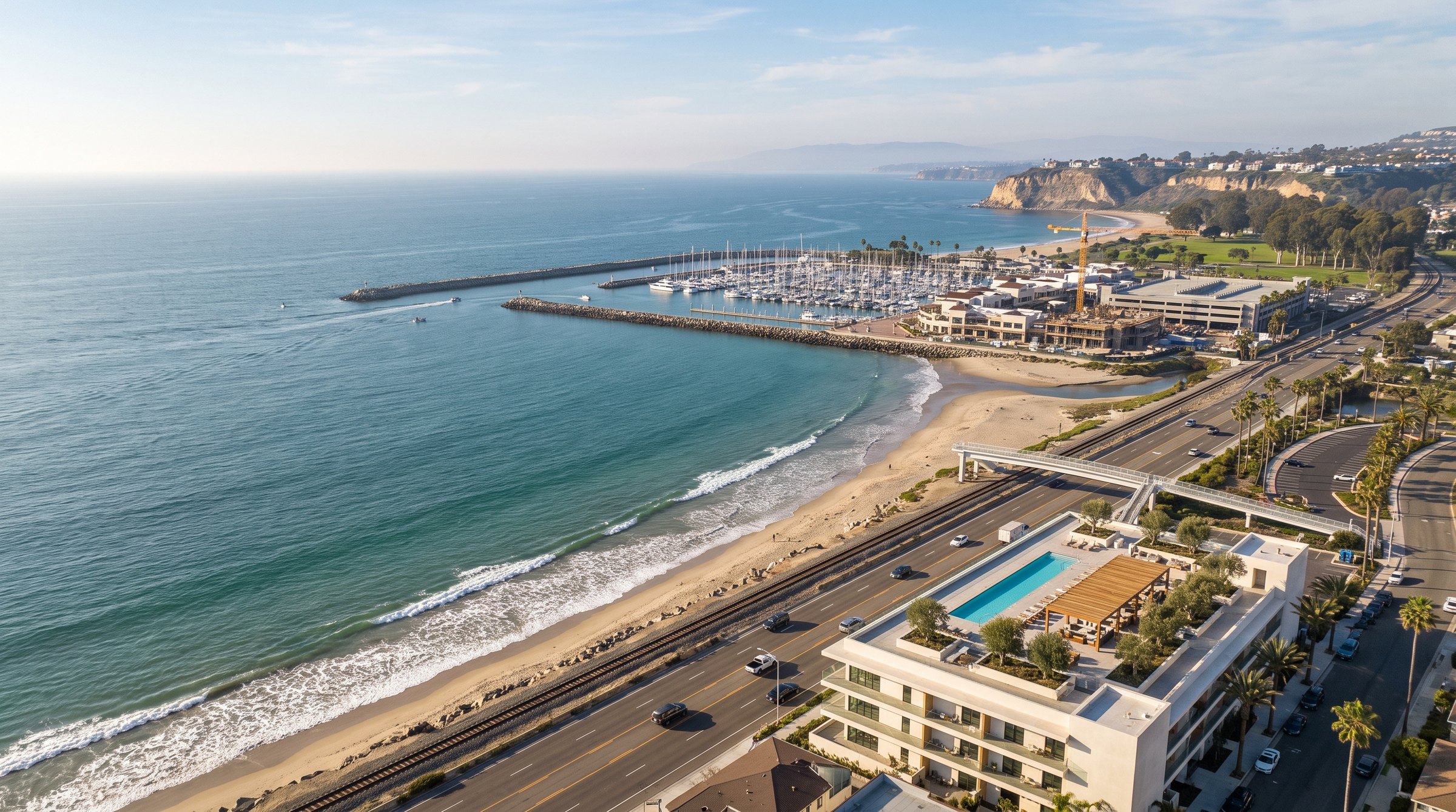
1.15 acres.
Two parcels. One frontage.
Fifty thousand square feet of commercially zoned coastal land on the inland side of Pacific Coast Highway, raised above the roadway and the coastal rail line, with white water ocean and panoramic views over the sand. Beach access is directly opposite: a signalized crosswalk carries pedestrians across Pacific Coast Highway, and the surviving span of the Capistrano Surfside Inn overcrossing carries them over the rail line to the sand. Buyer to verify the current crossing configuration with the City of Dana Point and the County of Orange.
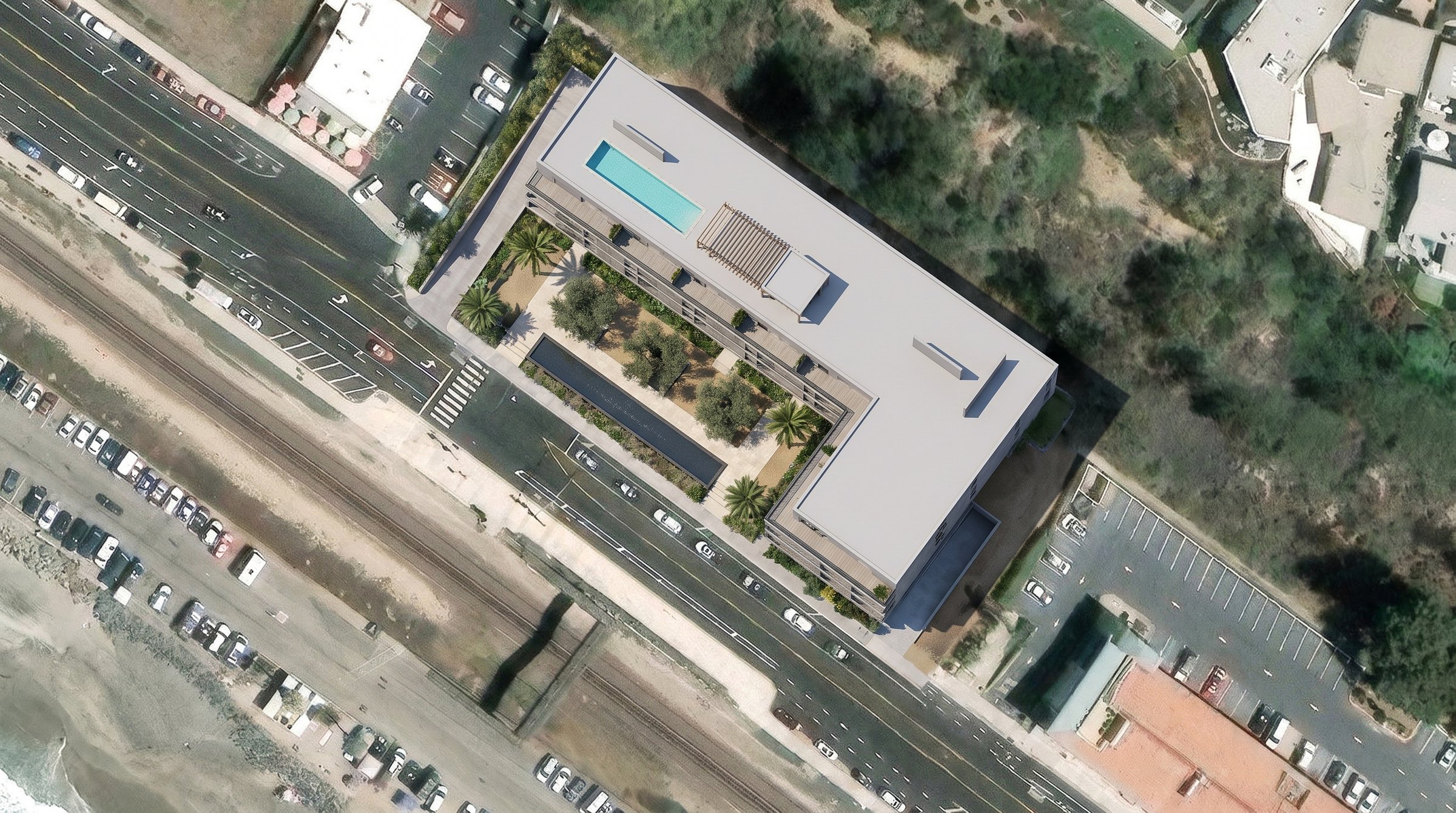
Listing detail.
- Lot size
- 1.15 acres · 50,042 square feet
- Assessor parcel numbers
- 691-411-21 & 691-411-22
- Zoning
- Commercial
- Proposed use
- Hotel
- Views
- White water ocean, panoramic
- Legal description
- Lot 20, Block 1 · Tax Tract 777
- Association
- None
- Utilities
- None; water not available
- Additional assessments
- $16 per year
- Community
- Street lights, sidewalks, suburban
Particulars above are as reported in the MLS record and have not been independently verified against Assessor or recorded documents. The listing reports no utilities and that water is not available to the site; buyer to verify all utility availability, connection requirements and costs with the applicable service providers, and to confirm parcel numbers, legal description, zoning and assessments directly.
Between the highway
and the water.
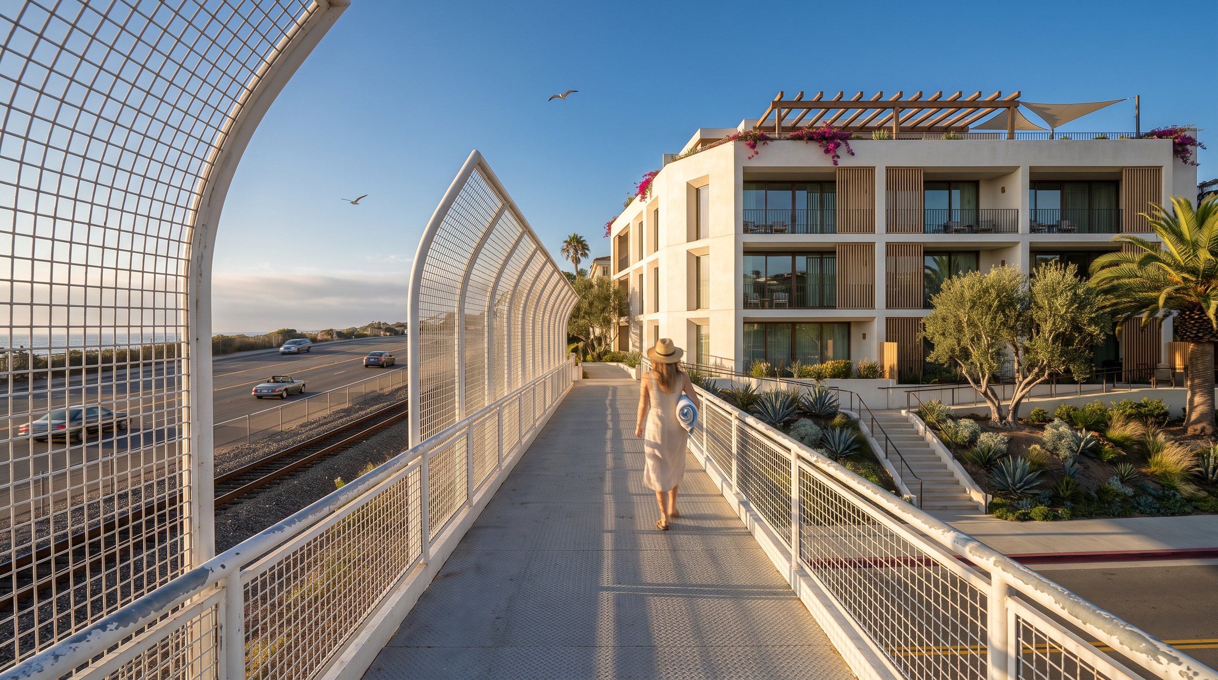
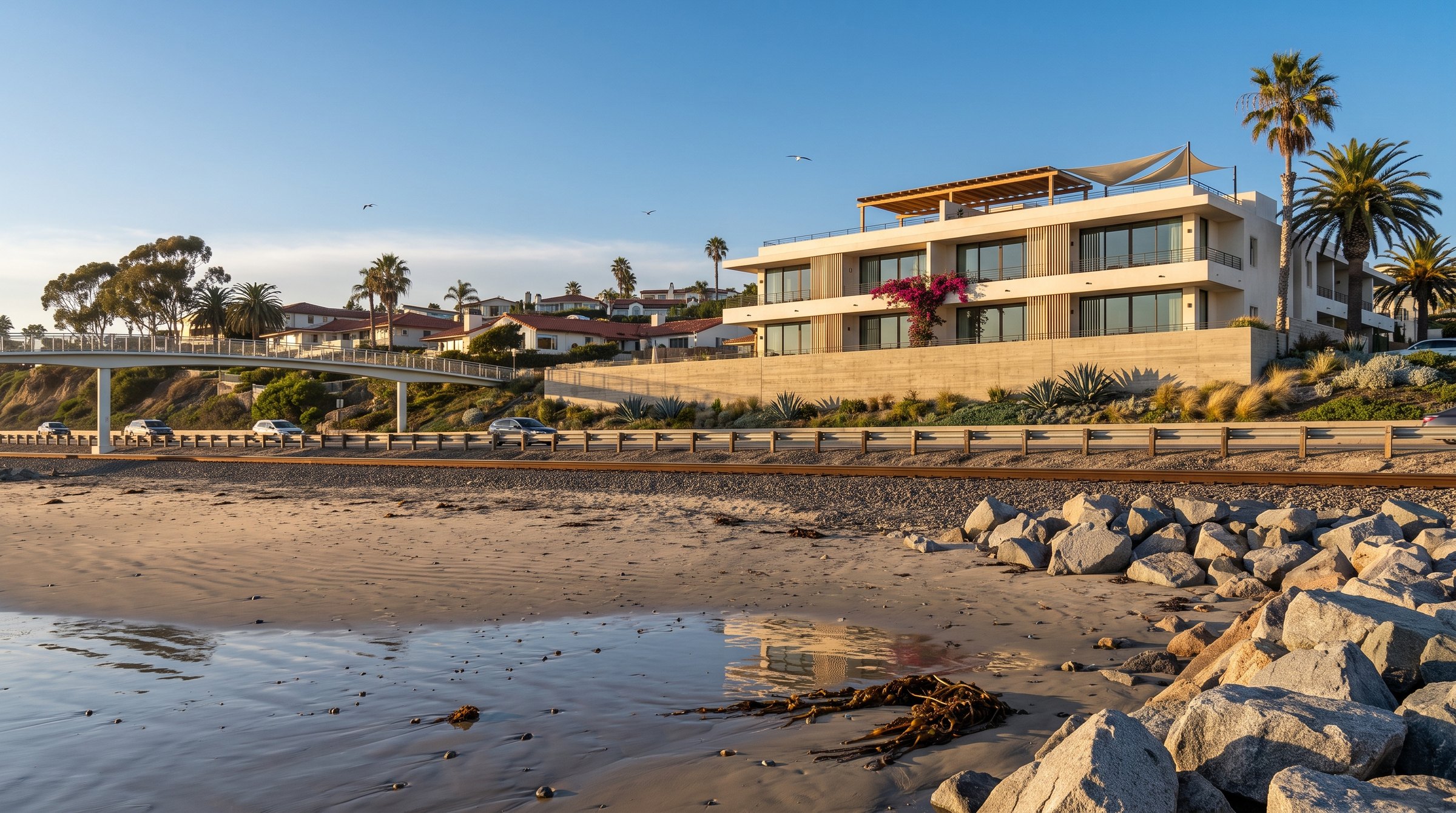
The rendering at left depicts a pedestrian bridge spanning both the highway and the rail line. In fact the span over Pacific Coast Highway was removed in 2016 and replaced with a signalized at-grade crossing; only the span over the rail line remains.
Distances.
- The beach
- Directly opposite — across Pacific Coast Highway at the signalized crosswalk, then over the rail line
- Doheny State Beach
- Approximately one mile northwest; its southern end adjoins Capistrano Beach
- Dana Point Harbor
- Approximately 2.5 miles northwest by road
- San Clemente
- City limit approximately one mile southeast; downtown approximately four miles
- John Wayne Airport
- Approximately 25 miles northwest by road